
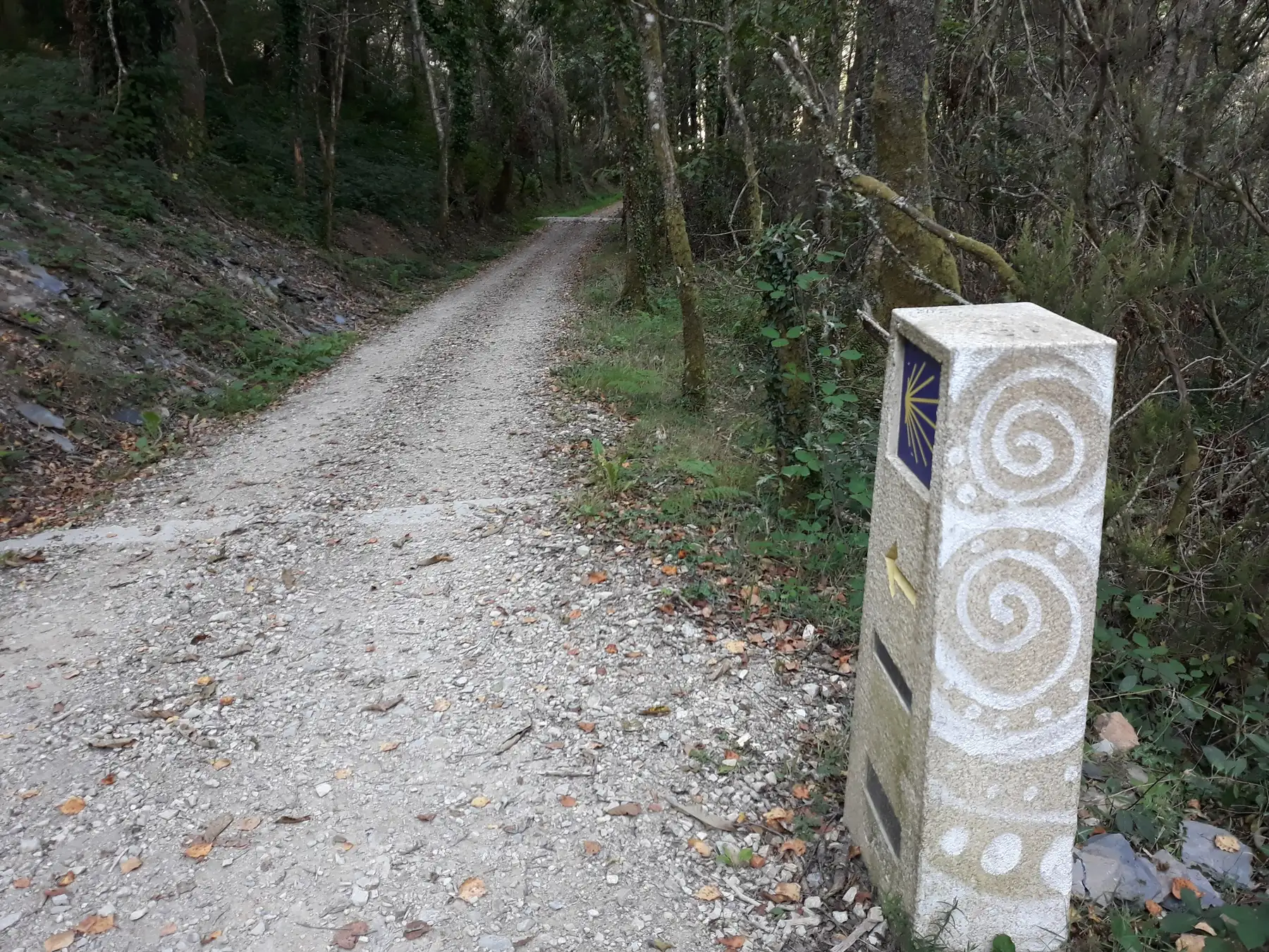
 Photo: Simon Burchell, CC BY-SA 4.0, via Wikimedia Commons
Walk the old routes
Split a pilgrimage into days that fit your legs, see where you can sleep, fill your bottle and buy food, and find the nearest pharmacy.
Routes
3 routes have a full day planner, built on 17,063 places mapped along them. The others are introduced here with official links.

Camino Francés (French Way)
About 779 km

 Christian
Day-by-day planner

Camino Portugués (Portuguese Way)
About 620 km
 Christian
Day-by-day planner

Camino Inglés (English Way)
About 113 km
ChristianDay-by-day planner

Camino del Norte (Northern Way)
About 820 km
ChristianInformation and official links

Kumano Kodō
 Shinto and Buddhist
Information and official links

Shikoku Pilgrimage (88 Temples)
About 1,200 km
BuddhistInformation and official links

Via Francigena (Canterbury to Rome)
About 1,900 km


 Christian
Information and official links
What the planner knows
Real route line
Distances are measured along the mapped path, not in a straight line.
Stops with beds
Days only end in places where the map lists somewhere to sleep.
Water and essentials
Drinking water, toilets, food shops, pharmacies and benches for each day.
Rest days and dates
Add a rest day every few days and see the date of every stage.
Honest about the data
Routes, water points and places to stay come from OpenStreetMap volunteers. Maps can be wrong or out of date, and fountains dry up. A planned day is a starting point. Always carry water, check opening times and use an official guide or track for navigation.
Prepare for your walk
Credentials and certificates, what to pack, and how to look after your feet and your health.
Hajj and Umrah
Where to find permits, rules and authorised packages: official sources only.